
Explore in a Day or a Week
Copy / download above image onto your phone or Download a PDF the 2026 High Country Road Trip Map.
Use the High Country Road Trip Map 2026 to explore Avery and Watauga Counties in North Carolina . Along this 50-mile driving tour loop, discover than 500 stops that include attractions, hikes, shops, galleries, and restaurants, along with the charming downtowns of Banner Elk, Blowing Rock and Boone.
Longtime favorite attractions along the way include Grandfather Mountain, Tweetsie Railroad Amusement Park, Mystery Hill, Wilderness Run Alpine Coaster, original Mast General Store and Apple Hill Alpaca Farm. Find something for the entire family to enjoy.
Pair the High Country Road Trip illustrated map with your GPS to create your own itinerary. Explore it in a day or a week!
Happy traveling! For updates on Blue Ridge Parkway Construction, go to the Blue Ridge Parkway website. Use these websites to plan a trip:

Blowing Rock is frequently featured in magazines and travel blogs as one of the most charming and picturesque downtowns in the South. Go to the Blowing Rock Visitor Guide.

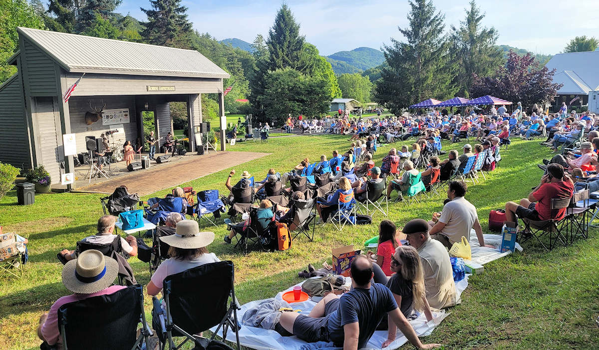
Banner Elk is known as the culinary hotspot with an impressive array of dining options in a small town. It’s also known for Wildcat Lake, Art on the Greene and Concerts in the Park. Go to the Banner Elk Visitor Guide.

Home to Appalachian State University, Boone is the hub for the High Country. Find a vibrant downtown with many restaurants, brewery, theatre, shops and festivals. Go to the Boone Visitor Guide.
Download the HIGH COUNTRY FALL ROAD TRIP 2025 PDF for printing on 8.5×11!
Download the SUMMER HIGH COUNTRY ROAD TRIP 2025 PDF for printing on 8.5×11!